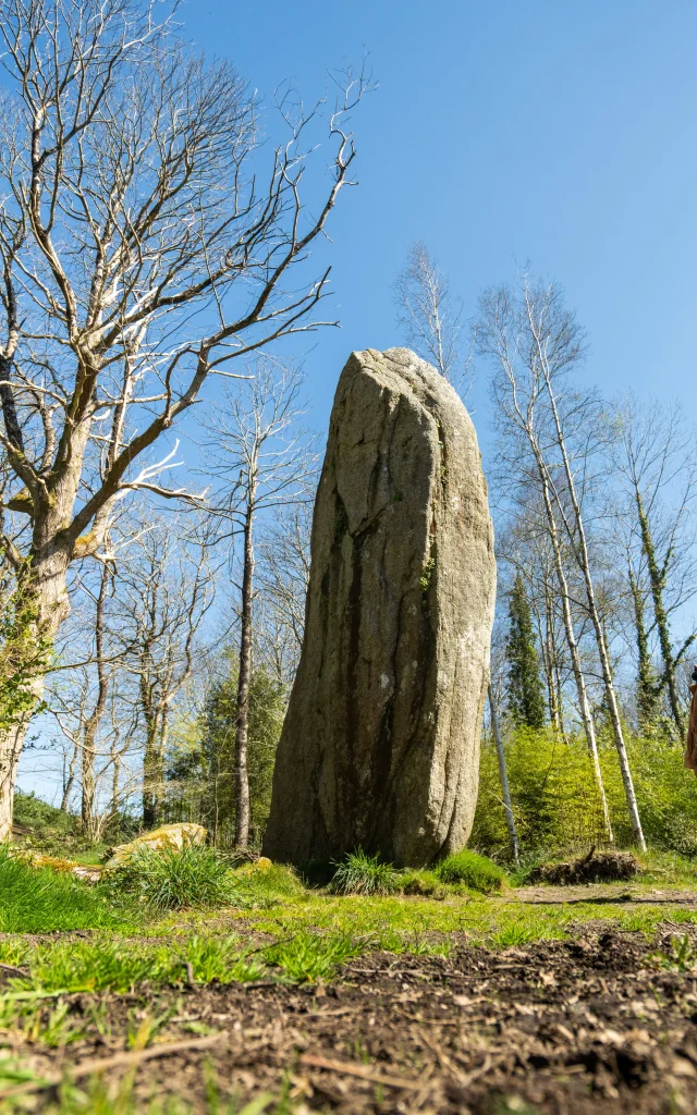
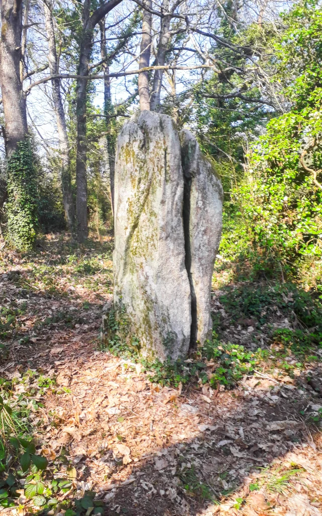
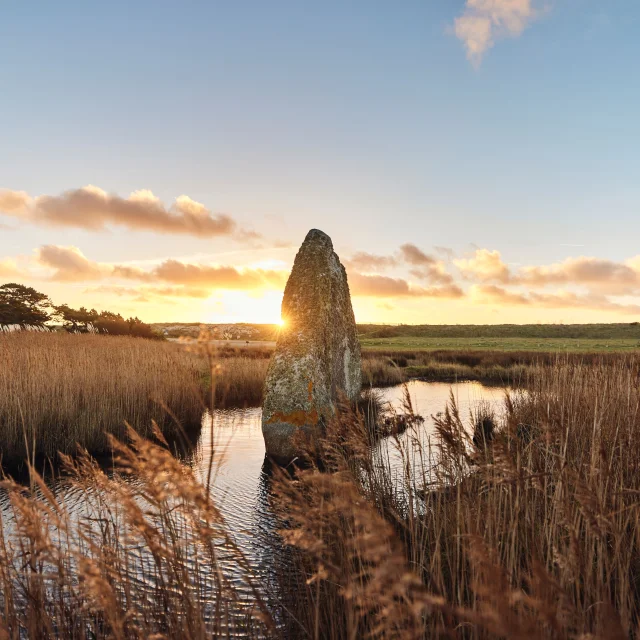
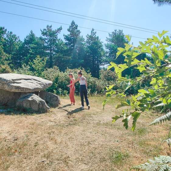
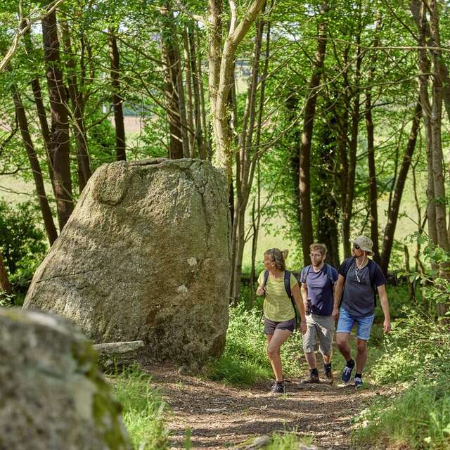
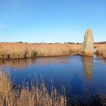
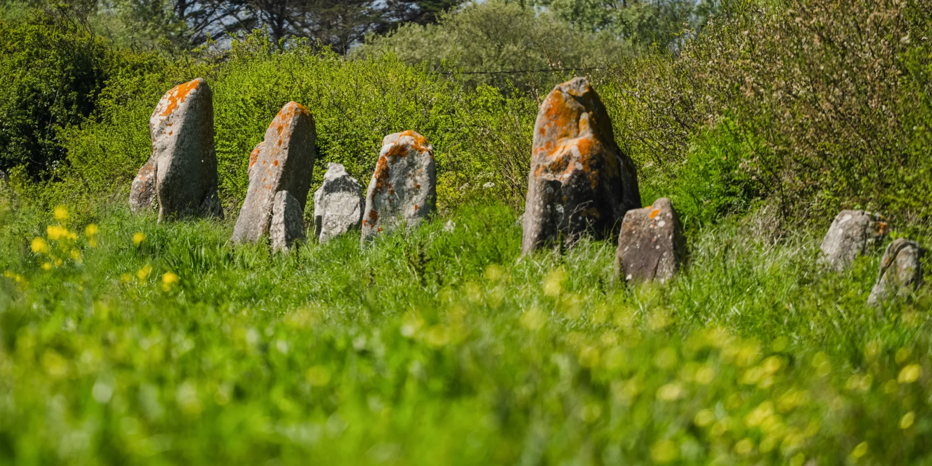
Alignements de la Madeleine - Penmarc'hAlignements de la Madeleine - Penmarc'h
©Alignements de la Madeleine - Penmarc'h |T. Poriel

Megaliths Neolithic heritage

Many of the dolmens, menhirs, alignments and tumuli built before our era have been destroyed or moved. The Bigouden region is nonetheless rich in megaliths, to be discovered along its paths and waterways.

sacred stones

Megaliths are stones that were erected, raised and moved by the hand of man (or several men!) during the Neolithic period.

This includes dolmens (made of several stones arranged in a structure. Dolmen means “stone table” in Breton), covered walkways,menhirs (standing stones and literally “long stones” in Breton), alignments (made up of several menhirs) and tumuli (earth-covered mounds).

While we know that most of these structures were used as tombs, we still wonder about the purpose of some menhirs. One thing is certain: they were sacred to the people who built them.

La Madeleine Exceptional alignment

This alignment originally comprised 600 or 700 menhirs facing north-east, south-west, the direction of sunrise at the winter solstice. They were arranged in four rows over a distance of more than a kilometre.

Could the direction chosen be linked to sun worship? Or was it a way of finding one’s bearings in space and time? Nothing is certain, apart from this link to the sun…

The Madeleine alignment was almost as large as the one at Carnac in Morbihan. Today, around fifty menhirs have been recently excavated.

The beginning of the 20th century, with the need to expand farmland, was fatal for them.

The highest menhirs

Opposite, two menhirs of impressive size.

On the left, theLespurit Ellen menhir in Plovan stands 7 metres tall in a clearing. Another stone lies on the ground beside it. Nearby, you can see the cliff from which they were most likely taken.

On the right, the Kerzuot menhir in Plozévet. It is not known whether this is the result of lightning or water infiltration, which caused the stone to shatter under the effect of frost.

Legend has it that two lovers were caught in an “awkward situation” and turned into stone!

There areother large menhirs in the Bigouden region, notably the Reunmenhir in Treffiagat.

Menhirs feet in the water

Archaeologists and researchers have noticed that many menhirs have been erected close to watercourses. This is hardly surprising, given the importance of this resource for the development of all life. Today, these standing stones sometimes find themselves with their feet in the water, a consequence of the slow and inexorable rise in the water level.

The result is sometimes grandiose, as in Pont-l’Abbé where thePenglaouicmenhir seems to be sticking its nose out of the river.

The Léhan menhir stands in the middle of the marshes at Treffiagat (see photo opposite).

dolmens and covered walkways

Dolmens were used as burial sites by our ancestors. A covered walkway is a particular type of dolmen. The distinction between the two lies in the length of the structure, but is open to debate.

The Pointe de La Torche is a nugget in this respect: at the top of the rocky point is a megalithic complex consisting of a dolmen with compartmentalised chambers and an aisle (dating back more than 6,000 years) to which a more recent extension has been attached. Excavations have yielded Neolithic human bones. Thecovered alleyway at La Torche is a listed monument.

To the east of the monument is what specialists call the “shell heap”, made up of the remains of shells eaten by people who lived there more than 8,000 years ago.

menhirs and commemorative steles

Menhirs, erected in the Neolithic period by Homo sapiens, should not be confused with Gallic stelae, which are standing stones sometimes carved by human hands. The latter were worked by the Gauls between the 5th and 4th centuries BC.

As for the Menhir des Droits de l’Homme (Human Rights Menhir ), which stands opposite Plage du Menhir, its inscriptions may seem a little anachronistic…. It is in fact a commemorative stone bearing the names of shipwrecked sailors who perished at sea off Plozévet in 1797.