In the footsteps of the Birinik train
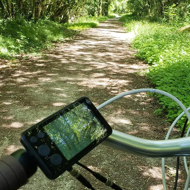
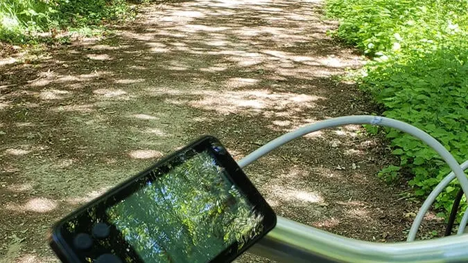
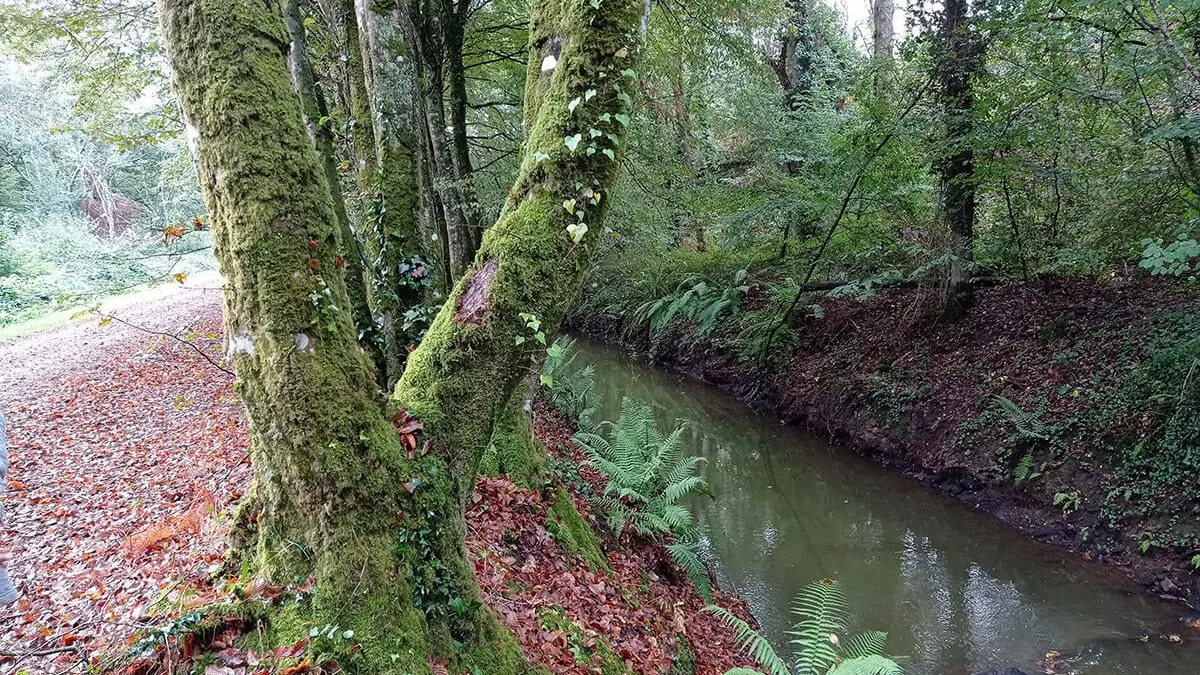
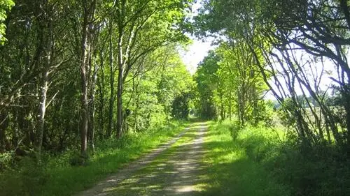
This greenway is a hiking trail on a former railway line. It runs for 12 km between Pluguffan and Pont-l'Abbé. It has a stabilised surface for running, walking, mountain biking and cross-country cycling. Its shady route, popular in hot weather, takes you all the way to Pont-l'Abbé and its river port. The last train passed through here on 20 June 1963!
Departure point: Cinéville car park, Pont-l'Abbé
Finish : Ti Lipig Pluguffan
Signposting: The signposting on the ground always takes precedence over documents. If there are no markings, follow the path.
Difference in altitude: 213D+.
Direction of route: Two-way
Surface: Rough stabilised
Notice to walkers :
Rules and good practice:
-In order to respect the integrity of the natural environment you are crossing, it is essential to attach rubber tips to the ends of your walking sticks.
-You are liable as a walker in the event of an accident resulting from carelessness or inattention on your part.
-Remain discreet and courteous with other users and local residents.
Advice before setting off:
Make sure you are well equipped before setting off: drinks, snacks, a bag to take your rubbish in.
Hiking with your dog:
Dogs are welcome on this route.
However, there are many runners and cyclists on the green route, so your dog must be kept on a lead at all times.
Notice to cyclists:
Rules and good practice:
- Be careful not to leave any objects or rubbish: if there are no bins, take your rubbish with you.
-Always respect the fragile balance of flora and fauna.
-Respect private property.
Advice before you leave:
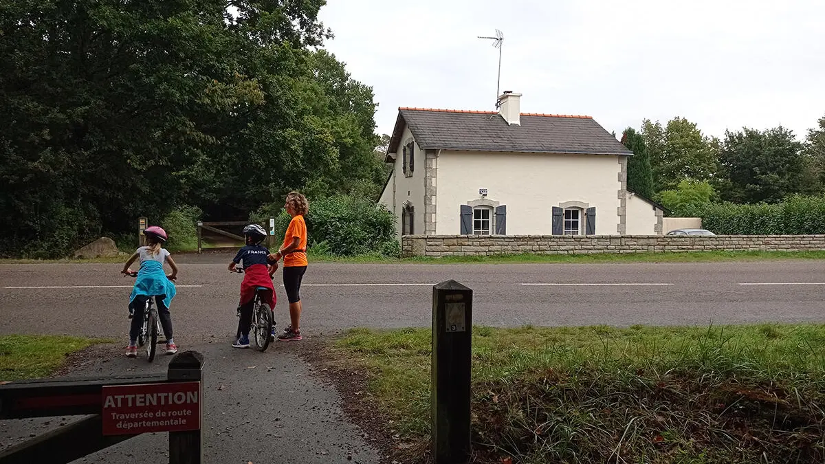
- Make sure you're properly equipped before you set off: check the condition of your bike (brakes, lights, tyres) and make sure you have everything you need for repairs. Wear a helmet: it is compulsory for under-12s and strongly recommended thereafter. Yellow waistcoats are compulsory outside built-up areas where visibility is poor.
-Share the road and respect the rules: pedestrian areas, pavements.
-Take something to eat and drink with you.
To see the route in detail, please download the pdf below. Don't forget to download an application that reads GPX files (openrunner, gpx viewer or any other application that reads gpx files of your choice).
Read more