What are tides?
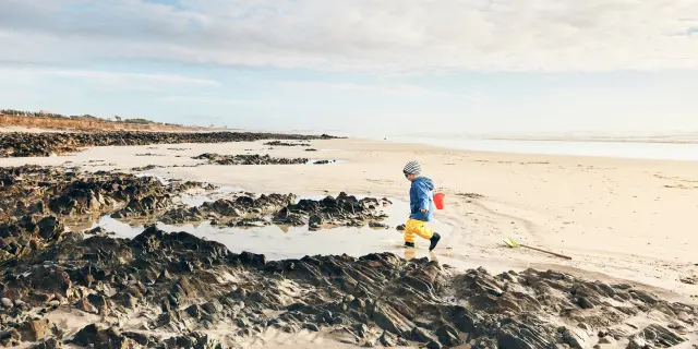
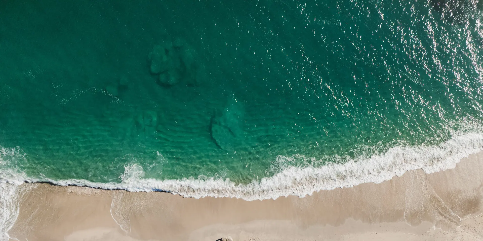
In the Atlantic Ocean, the sea does not always stay at the same level but instead rises and falls slowly. It takes 6 hours for the sea to go from high tide to low tide and vice versa.
The change is not visible to the naked eye, but if you place a stick in the sand as close to the water as possible on a beach, you can see the sea gradually rising or receding.
For information on weather conditions and any current weather warnings, visit the WindCornouaille website.
How do tides work?
To understand this, we need to look at the moon (and the sun)…
It’s a principle that we owe to Newton: a heavy body, such as a planet or satellite, exerts a strong pressure on other bodies. It is this force that lifts the masses of water on Earth and creates the tides.
When an ocean or a large surface of water passes through the axis of the moon, the attraction is at its strongest, creating a high tide . When this same point of the globe moves away from the Moon, this force of attraction weakens, creating low tides.
And what about the sun?
The sun plays a less important role, because it is further away from the Earth, but it is combined with that of the Moon. When the two stars are on the same axis, their effects combine to produce very high tides. This phenomenon occurs once a month.
On the other hand, when the sun makes a right angle with the moon and the Earth, we see the phenomenon of neap tides, with very low tides because their forces of attraction cancel each other out. In this case, the sea moves very little.
So even the height of the tide can change. You might hear about the tidal range or ‘coefficient’, which is a number between 20 and 120. The higher the coefficient, the more the sea rises and falls and the more dramatic the difference between low tide and high tide.
How do I read the timetables?
Tide calendars are available free of charge from the tourist office. They are available in paper format, but you can also consult the timetables on our website (below). Look for the nearest coastal town to where you want to find out the tides (e.g. Guilvinec, Plozévet).
Each calendar shows: high tide, low tide, tidal range (coefficient) and even water heights.
If you go gathering shellfish at low tide don’t forget to check the latest fishing permits issued by the prefecture and find out about best practice.
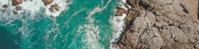
Rocks of Saint-Guénolé - Penmarc'h
|